“Watch out for beaver sharks,” smirked Meg, our rafting guide. The teaching fellows in the raft glanced at each other and then into the whitewater below.
THWAT!!!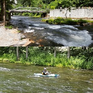
Meg laughed as she brought the blade of her paddle down on the water with a hard slap. On cue, guides from the rafts around us broke the plain of crystal clear water with their paddles as well.
We exhaled and smiled, relieved our fears about the industrious furred river shark were fictitious. Team building on the Nantahala River had begun.
In addition to navigating the river, our trip included stops to learn about the extraordinary biodiversity of the Smokey Mountains and a communal polar bear plunge into the brisk 42 degree Fahrenheit water.
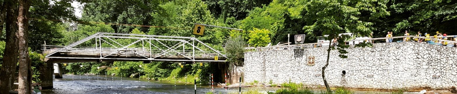
While shared time on the Nantahala was a fun-filled initiation into the Kenan Fellows program, my favorite part of the trip was all the real-world connection to the 5th grade science curriculum I teach at school.
Instead of introducing the rain shadow effect with examples of west coast cities like Seattle and Spokane, our guide suggested I use NOAA data on average annual precipitation for the relatively dry Asheville climate compared to the wet surrounding areas. A data set comparing locations in our home state of North Carolina is more accessible to students than the west coast.
Want to compare coastal and inland climates or analyze how elevation impacts climate? How about using a map to pick cities that follow interstate 40 and compare how annual average temperature and rainfall changes as you move away from the marine climate of Wilmington, through Raleigh and even into Oklahoma and out to the west coast. Why not show students the biodiversity of the North Carolina mountains and then ask what biotic and abiotic factors created this ecosystem?
All of these were suggestions from my guide as we floated down river. My students and my classroom are not data averse and my fear of data is like the fictitious beaver shark.